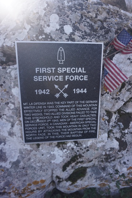
Monte La Defensa (Hill 960)
Description:
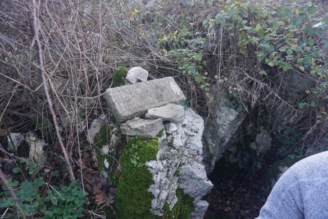
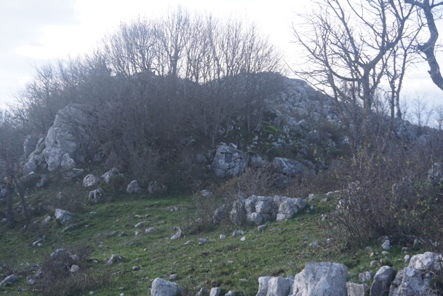
The site is located just below mountain peak and includes two memorials.
Address:
Trailhead: Campo Sportivo, Fazione di Camino , 81040 , Rocca d’Evandro , Caserta , Campania , Italy
: This site is difficult to find and requires a 75 -minute hike to a mountaintop. The site is located on the top of Monte La Defensa (sometimes referred to as Hill 960 or as US WWII Maps indicated as Monte La Difensa). Trailhead for the hike is located in the Camino neighborhood (Frazione) of the town of Rocca d’Evandro. Camino is located about 2.5 kilometers form the center of Rocca d’Evandro. Trailhead is the Camino Campo Sportivo (Sports field) GPS of trailhead: Lat: 41.3854; Long: 13.9357 (Altitude 545 meters). Follow trail for about 1.7 miles to the peak (960 meter altitude). Hike takes about 90 minutes. Site is located in a saddle just below the peak of Monte La Defensa. The site offers wonderful views of the Mignano Gap and the major late 1943 to May 1944 battlefields to include: Montecassino; San Pietro Infine; Monte Rotundo; Monte Lungo; Monte Camino; and, Monte Sammucro. See this website Winter Line Museum - Venafro and Historicus Museum-Caspoli for museum descriptions of this battle. As the site is difficult to find, we recommend visitors to contact the Comune of Rocca d’Evandro for assistance at the following links: https://www.facebook.com/Comune-di-Rocca-dEvandro-167265500655148/ https://www.facebook.com/Monte.Camino/
Map reference (click on pin to see Lat/Long):
41.3910 13.9514 Trailhead: Campo Sportivo, Fazione di Camino
Flag Poles :
0