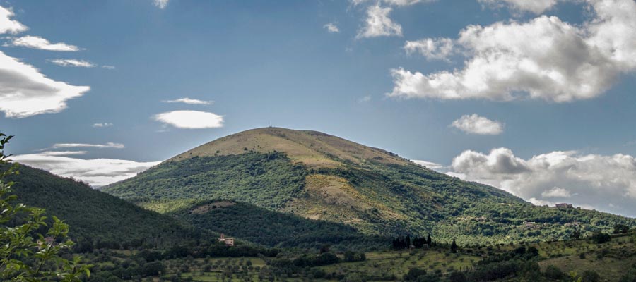
Monte Tezio
Description:
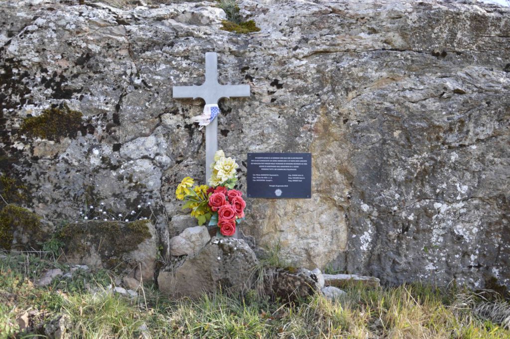
The site includes one mountaintop memorial remembering a C-47 Crash as part of Operation Pomegranate.
Address:
Trailhead:Strada di Compresso 06131 Perugia PG, Italy , 06131 , Perugia , Perugia , Umbria , Italy
The site is a mountaintop location of Monte Tezio only accessible by foot. Located about 10 kilometers north of Perugia, Mount Tezio is a 961-metre high mountain splitting the Tiber valley to the east from the hills gently sloping towards the Trasimeno Lake, to the west. The trailhead for Monte Tezio begins at the foot of the mount, 550 meters past the small town of Colle Unmberto I heading towards Umbertide (581m). look for parking area on the right. Follow Trail # 1 for a bout 75 minutes for 2.5 kilometers. The peak is located in the Parco di Monte Tezio (Mount Tezio Park) which is marked by a large cross; the site is about a 1 minute walk west of the cross. (Trailhead:43.189290, 12.342107)
Map reference (click on pin to see Lat/Long):
43.201048 12.342110 Trailhead:Strada di Compresso 06131 Perugia PG, Italy
Flag Poles :
0